
Trace a Montgomery Township Street
For a street-level question, first confirm that the address is in Montgomery Township rather than relying on the postal city printed on an envelope. Then use the county property system to connect the address with its parcel context. This address-first approach follows the local public property system, which does not offer an owner-name search. It can help distinguish a land record from a household claim, which is important when an owner, recorded party, mailing addressee, and occupant may not be the same person.
- Enter the complete address in Montgomery County Property Records, or use a known parcel ID. Save the search date and the parcel identifier returned.
- Use the county map route to check the parcel’s position and municipal setting. The map is useful for context, but it is not a boundary survey or title opinion.
- Keep any recorded-party or document clue supplied by the property research. A name alone is not a street search in the Recorder system.
- Search the Recorder’s Real Property index by party, document type, document number, or subdivision. Compare the legal description before treating a document as the same tract.
- For a defined municipal file, ask Planning and Zoning for the address, approximate time period, record category, and desired format. Historic household clues belong in dated collections, not a current-address conclusion.
That sequence stays focused on records that are actually keyed to an address. A person-specific question needs its own identity checks through the Montgomery Township resident lookup route.
Montgomery Township Address Search Modes
The Board of Assessment Appeals maintains the assessment roll, tax maps, and ownership registry. Its public portal presents Address, Parcel, Advanced, Map, and Sales modes. The County says property information is updated weekly, map information daily, and photos quarterly. The public landing experience did not expose a dependable parcel-card field list before the required disclaimer, so a Montgomery Township street directory should not promise a mailing address, a household roster, or any unverified result column.
| Property Records control | Route | What is verified |
|---|---|---|
| Address Search | Street-address route | Use a complete address when known. |
| Parcel Search | Parcel-ID route | Use the county parcel identifier. |
| Advanced Search | Separate mode | Additional live fields were not captured behind the disclaimer. |
| Map Search | Interactive route | Parcel and location context, not a legal survey. |
| Sales Search | Separate mode | Sale-oriented research route. |
| Owner Search | Unavailable | Removed from public use on June 17, 2022. |
The county’s property-records guidance explains the address-or-parcel limit. The visible county page is shown below.
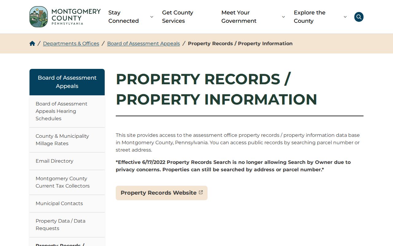
The privacy change is a local design constraint, not a gap to fill with unofficial lists. Start at the property, then continue only with a record system that supports the next question.
Montgomery Township Street Parcel Records
Use the address page to create a narrow property trail. Record the address as searched, the municipal context, parcel ID, result date, and any map identifier visibly returned. A parcel is a unit of land recognized in county assessment and mapping systems. It does not name every person who receives mail or lives there. The county’s free Open Data and interactive tax map can provide a second view of parcel geography, while a custom report or map can be requested from the Board at BOA.datarequests@montgomerycountypa.gov for a quote.
The county address-search route is the appropriate first screen when the street is known.
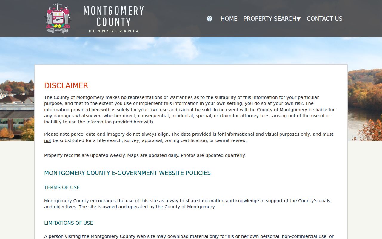
For an attribute not exposed in the portal, contact the Board of Assessment Appeals at One Montgomery Plaza, Suite 301, 425 Swede Street, Norristown, PA 19401, 610-278-3761. Its mapping data should be read as a location tool, not as proof of title, a boundary, appraisal, zoning status, or permit history.
Note: Preserve the portal’s update date because the assessment, map, and photo schedules do not refresh on the same cycle.
Montgomery Township Street Record Paths
Several custodians hold address-related records, but their results answer different questions. The table separates parcel discovery, recorded land documents, municipal files, controlled voter information, and historical context. A street directory should connect these systems without turning one record into a claim the record does not support.
| Address record | Custodian | Useful evidence | Access limit |
|---|---|---|---|
| Assessment and tax-map record | Board of Assessment Appeals | Address-to-parcel and assessment/map context | Address or parcel route; owner search unavailable |
| Open Data and tax map | Board data and mapping | Parcel relationships and spatial context | Visualization is not a survey |
| Deed, mortgage, or plan index | Recorder of Deeds | Recorded parties, document type, dates, legal-description trail | Account search; image tiers, counter, mail, or certified-copy channels |
| Permit or inspection file | Township Planning and Zoning | Defined project, plan, inspection, or code record if held | No verified public results database |
| Street List request | Montgomery County Voter Services | Controlled voter-list product | Qualified elector, ID, purpose certification, no Internet publication |
| Historic collection | Township Historical Society or Library of Congress | Dated property, map, telephone, or people context | Not a current-presence confirmation |
For adjoining lots, open parcels individually from the map rather than assuming an automatic neighborhood list. The same restraint applies to a voter street list: the official request route exists, but its statutory safeguards prevent it from becoming an open web roster.
Montgomery Township Deed Search Bridge
The Montgomery County Recorder of Deeds Public Access System reaches recorded real-property documents from September 10, 1784. It requires an account. Its index is organized by name rather than location, so an address by itself does not run a Recorder search. Move from address to parcel or document context, then use the recorded party, a document number, document type, or a subdivision term. Last, compare the legal description, which is the wording that identifies conveyed land, before claiming a match.
| Department | Real Property |
|---|---|
| Required control | Search Term |
| Search Term accepts | Grantor/grantee, subdivision, document type, or document number |
| Optional date limits | From and To dates, plus presets from 24 hours through one year |
| Image alternatives | Counter, mail, and certified-copy routes remain available |
Remote images cost $25 for a day ending at midnight or $300 for a month. Plain copies are $0.50 per page, and an e-certified copy is $10.50. When an older image is not reachable remotely, use the Recorder’s counter computers, mail process, or office contact rather than guessing from an incomplete index.
Montgomery Township Recorder Gaps
Recorded land research here has depth, but sequence numbers have a documented quirk. The Recorder says deed books 1325, 1326, 1377 through 1381, and 1540 through 1544 were never created. It also lists mortgage books 1572 through 1580, 3340, and 3454, along with plan books 16 through 21. A missing number is therefore not proof that a sale or other transaction disappeared.
Check an apparent gap with the Recorder before treating it as an interruption in a chain of title. The Recorder office is at 425 Swede Street, third floor, Norristown, PA 19401, 610-278-3289. Its service includes counter and mail channels as well as the subscription image options. Free FraudSleuth enrollment is a separate county property-alert resource; current fees should always be checked on the Recorder’s live page before ordering a copy.
Montgomery Township Permit Requests
Permits are a parallel address record. Montgomery Township Planning and Zoning says permits are available online and at the office for additions, alterations, demolition, replacement, and new construction. Its public page does not provide a verified historical search by address. A focused inquiry should name the street address, approximate period, project category, and whether plans, inspection material, correspondence, or a final determination is wanted. Review is estimated at two to three weeks, and inspection requests are generally made 24 to 48 hours in advance.
The Planning and Zoning page is the direct starting point for this municipal record category.
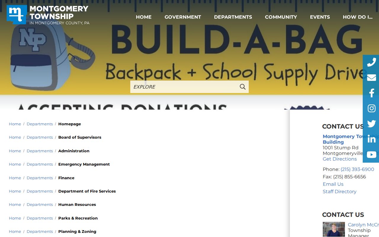
Planning and Zoning can be reached at 215-393-6920. If a nonroutine Township-held record is needed, the written Pennsylvania Right-to-Know Law process accepts mail, courier, hand delivery, fax, or email and requires requester contact information plus a sufficiently specific description.
Montgomery Township Street List Limits
Pennsylvania Find Voter Registration Status is for an individual’s own status confirmation, not street browsing. The county’s voter-record form is the controlled route for Public Information, Street List, or Individual Voter Information. It requires a qualified registered elector, government-issued identification, and an allowable election, political, or law-enforcement purpose. The signed limitation prohibits Internet publication. That process is more precise than an informal address search and carries its own use rules.
Township e-news dated March 27, 2026 says the Township began a process with the County Board of Elections in February 2025 to gather voter data for new alignments. That is a process update, not confirmation that an individual registration record or polling location changed. Use the state voter-status route for a personal status question, and direct a qualifying list request to Montgomery County Voter Services with the form’s required details. Do not infer a protected address from an absent result.
Montgomery Township Street Directory Terms
Address records use terms that look alike but serve separate purposes. Keeping them apart prevents a mailing label or a map point from being mistaken for a legal land conclusion.
- Parcel
- A county-recognized unit of land used for assessment and map context.
- Situs address
- The physical location used to identify land for an address search.
- Legal description
- The recorded language, such as a subdivision reference, that identifies conveyed land.
- Grantor and grantee
- The party transferring an interest and the party receiving it in a recorded document.
- Criss-cross directory
- A historical address-oriented directory tool, useful only for the dated edition it actually contains.
Montgomery Township was organized in 1714, while Recorder records begin in 1784. Older research may need a legal description or historic place reference before a modern street label will line up.
Montgomery Township Street Labels
One Township address may use Lansdale 19446, North Wales 19454, Montgomeryville 18936, Colmar 18915, or Chalfont 18914 as its postal line. Those labels do not draw the municipal boundary. Check the County property map or official Township street map before deciding where a street lies, then retain the postal label exactly as the source uses it. This is especially important where a historical catalog or recorded document uses a postal place name rather than the municipal name.
For a dated address trail, the Library of Congress holds Eastern Montgomery County telephone-directory images from 1944 through 1955, while the Township Historical Society maintains property and people material. Those sources can preserve an era-specific connection. They do not establish a current household. The historical shelf is treated in more detail in the Montgomery Township city directories.
Montgomery Township Street Directory Boundaries
A parcel record is not a household roster. Utility and delivery-customer lists are not the public substitute, and one lawful contact point does not establish every relationship at an address. The Pennsylvania Address Confidentiality Program can provide eligible participants with a substitute address for state and local records, including voter registration. A street lookup should stop when a record is protected, restricted, inconsistent, or outside the named custodian’s scope.
Lawful personal research. Use address records for legitimate personal, historical, property, or civic questions. Never use them to stalk, harass, intimidate, or harm another person.