
Montgomery Township ZIP Code Labels
Montgomery Township’s own postal-label material identifies five labels that may appear on Township residents’ mail: Lansdale, North Wales, Montgomeryville, Colmar, and Chalfont. The list is useful for searching a catalog or checking an address, but it does not divide the Township into five municipal pieces. These are postal-service patterns, not Township polygons. The coverage table states only what the sources establish and deliberately leaves out neighborhood assignments, population figures, PO-box claims, and realignment stories that were not verified.
| ZIP code | Postal label used | Post office evidence | Careful reading |
|---|---|---|---|
| 19446 | Lansdale | No station page captured | One of the five Township mailing patterns; not the municipal boundary. |
| 19454 | North Wales | No station page captured | Validate a delivery point with USPS. |
| 18936 | Montgomeryville | USPS location record captured | The USPS facility display uses Montville; retain the source difference. |
| 18915 | Colmar | No station page captured | A confirmed Township postal-label pattern only. |
| 18914 | Chalfont | No station page captured | Do not equate the ZIP with Borough of Chalfont. |
A Montgomery Township ZIP code directory is most useful when it preserves both pieces of information: the ZIP and label as written, plus the municipal location verified through the county parcel route.
Montgomery Township ZIP Code Delivery Check
For delivery wording, use the USPS Montgomeryville location record. It gives 411 Doylestown Road, Montgomeryville, PA 18936-9998 for the post office. The facility display itself uses “Montville,” while the Township document calls 18936 the Montgomeryville postal label. Neither source needs to be silently corrected to fit the other. Record the wording and use the County map when the question is whether the property lies in Montgomery Township.
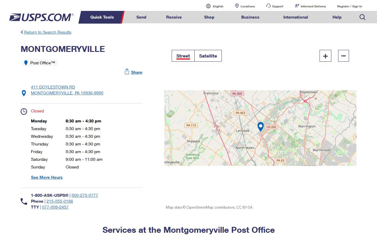
This official locator is a delivery and facility source. It does not establish who lives at every address assigned to the ZIP code.
Montgomery Township ZIP Code Boundaries
A ZIP code answers a mail-routing question. Municipal jurisdiction answers a government-boundary question. Montgomery Township lies on the eastern edge of Montgomery County, near North New Britain Township, Warrington Township, Horsham Township, Lower Gwynedd Township, Upper Gwynedd Township, Lansdale, and Hatfield Township. That setting explains why a nearby place name can appear on a mailing line without proving that the physical property sits in that borough or township.
Match the tool to the question. Use USPS for a delivery label, County Property Records for a parcel and jurisdiction clue, and a recorded legal description for land identification.
The Census QuickFacts location profile is a separate geographic reference. No current population figure was adopted from the research, so no population figure is stated here.
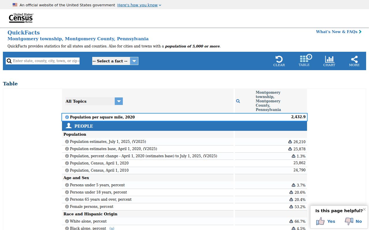
A location profile can add context, but it does not convert a postal ZIP into a municipal resident roll.
Find Records Within a ZIP Code
There is no inspected Montgomery County portal that turns a ZIP code into a browsable Township resident list. County Property Records starts with a street address or parcel ID. The Pennsylvania Judiciary Web Portal’s ZIP field appears as a docket criterion, not a directory of residents. Pennsylvania’s voter-status service confirms an individual’s status after an identity match, and the County’s controlled Street List request is not a ZIP list. A ZIP narrows the way you organize an inquiry; it is not an identifier that replaces an address.
- Validate the delivery line with the USPS locator when a ZIP or postal label is uncertain.
- Check the complete street address in County Property Records to establish parcel context and municipal placement.
- Retain the physical or situs address separately from any mailing line on a document.
- Use the parcel ID or a recorded-party clue for the next official record, rather than treating the ZIP as a people-search field.
- Once the ZIP has narrowed the area to a particular street, use the Montgomery Township street directory workflow for the address-first record trail.
For a qualifying voter-record request, the County form offers Public Information, Street List, and Individual Voter Information products. It requires an eligible registered elector, ID, and a permitted election, political, or law-enforcement purpose. It also bars Internet publication. The state status tool remains an individual confirmation route, not a ZIP browser.
Montgomery Township ZIP Search Controls
The absence of a ZIP mode is important information. It keeps a Montgomery Township ZIP code directory from promising a filter that county or state systems do not expose. These verified controls show the correct starting point for each system.
| Official system | Verified control | ZIP role | Proper use |
|---|---|---|---|
| County Property Records | Address, Parcel, Advanced, Map, Sales | No inspected ZIP route | Start with street address or parcel ID. |
| Recorder Quick Search | Real Property and Search Term | No ZIP people-search route | Use a party, subdivision, document type, or document number. |
| UJS Case Search | ZIP appears among docket criteria | Docket predicate only | Search a case, not residents in a ZIP. |
| Voter-status gateway | Name, birth date, county identity match | No street or ZIP browsing | Confirm an individual’s own record. |
Note: A portal field is evidence of the task that portal was built to perform, not permission to broaden the search beyond its published scope.
Montgomery Township ZIP Code Business Limits
The Commonwealth’s Business Entity Search is not a ZIP code resident directory. The official description allows an entity name or entity/file number. It does not provide an officer, owner, or address search. Use it only to confirm an entity identity or filing result when a known entity identifier is already in hand, and do not use a shared postal label to connect an entity to a private address.
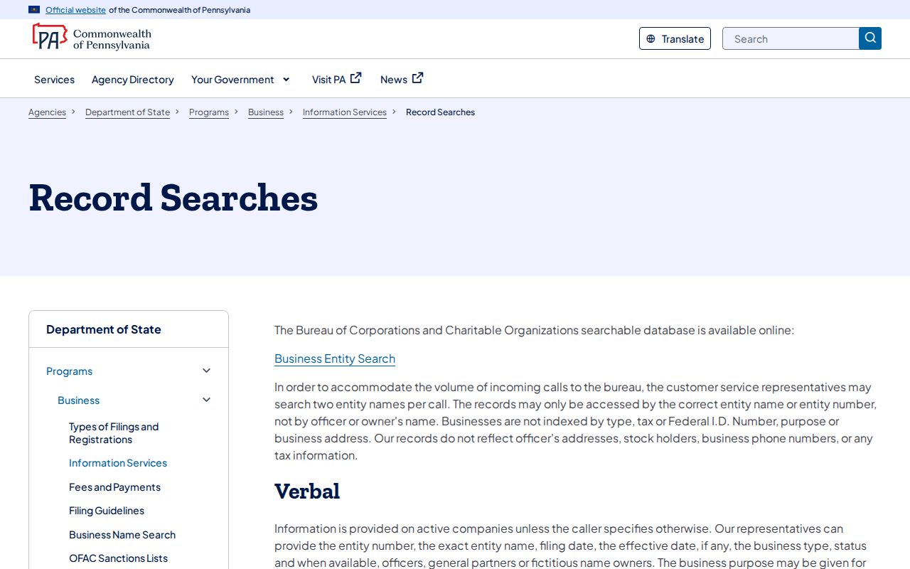
The screen supports the same boundary: an official entity query can confirm the entity information it returns, but it does not supply a Township-wide address or ownership directory.
Montgomery Township ZIP License Checks
For an official credential question, use the Pennsylvania Licensing System, known as PALS, with the name or credential information already available. PALS provides person, facility/provider, and disciplined-practitioner routes. The research did not capture the changing live result fields or options, so the safe method is to retain the license number, status, board, and result date actually displayed, then resolve a discrepancy with the licensing agency. A ZIP code does not make the system a local address directory.
The PALS landing page presents the official search routes.
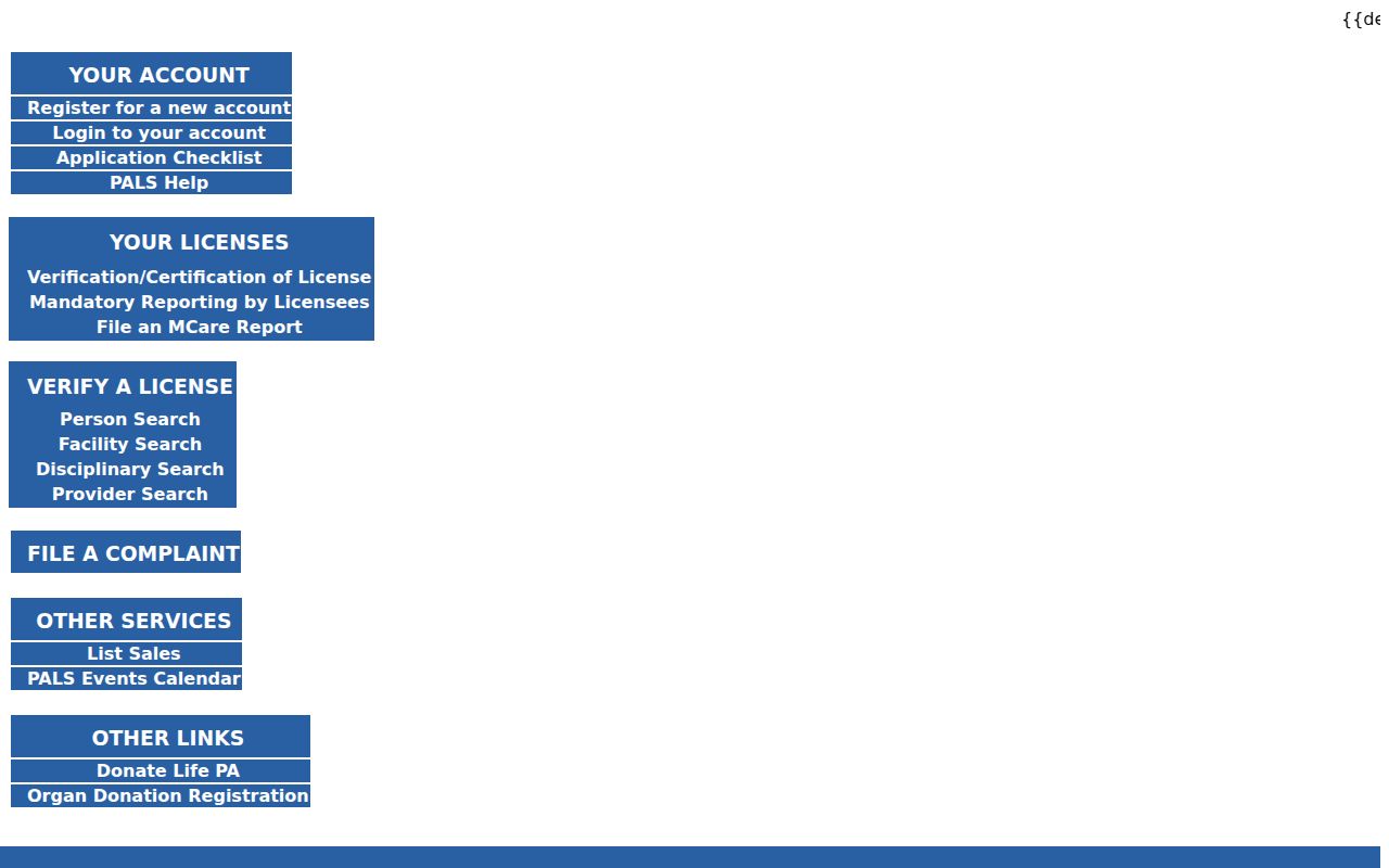
The Department of State’s license-verification guidance describes status and disciplinary-action checks through the official system.
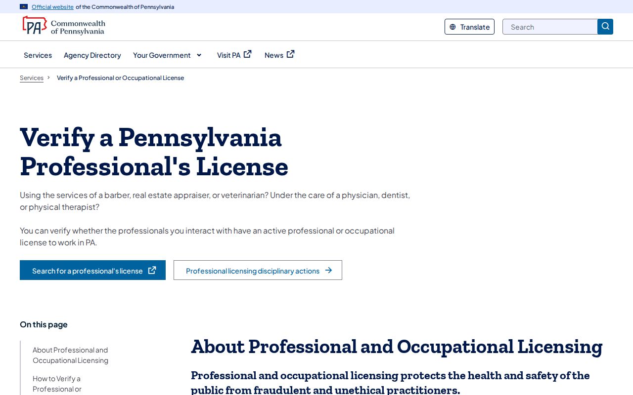
Neither official PALS source promises a private address or a Township ZIP list, so preserve only the result details actually returned.
Montgomery Township Postal Record Handoff
When a parcel or municipality question remains after USPS validation, hand the inquiry to the office that keeps the record. County assessment and Recorder offices handle the parcel and recorded-document sides. The Township maintains municipal departments, permits, ordinances, and its own public-record route, but it does not keep a stand-alone current-resident roll. A precise request should state the property address, the record category, and the approximate date range, rather than asking the office to determine who resides in a ZIP.
The Township departments page identifies the local municipal service structure.
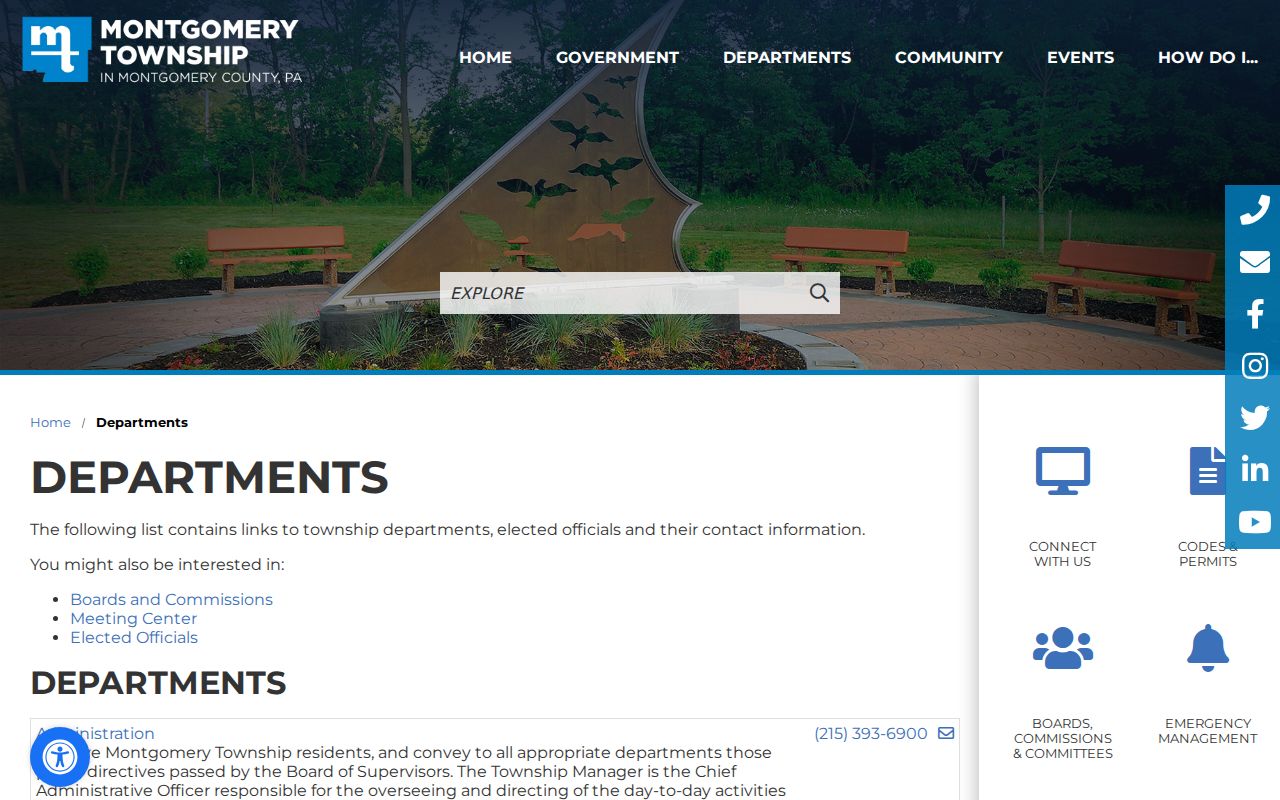
Municipal services are a handoff point for defined Township records. Their presence does not make postal labels a substitute for a parcel, a legal description, or a properly limited public request.
Montgomery Township ZIP Code Terms
Postal and land records use different labels. Read each one according to its assigned purpose, especially when an old record preserves a historical spelling or a modern page uses a different postal locality.
- ZIP code
- A Postal Service routing designation for delivery, not a municipal boundary.
- ZIP+4
- An added delivery-segment code that refines a ZIP code for mail handling.
- PO-box ZIP
- A ZIP designation used for post-office boxes; no such local classification was verified for this five-label list.
- Unique ZIP
- A ZIP assigned to one organization; none was verified for this Township list.
- Carrier route
- A Postal Service delivery grouping, not a public list of people.
- Legal description
- Recorded land-identification language that may not match the current mailing line.
Montgomery Township was organized in 1714, well before today’s postal labels. For archival research, retain the printed address style and compare it with the parcel or document context instead of forcing a modern ZIP onto an older source.
Montgomery Township ZIP Code Limits
A postal label cannot prove municipal residence, legal ownership, or household membership. The five labels are a useful local quirk because they show why mailing address, physical or situs address, and legal description must remain separate fields. Use only records appropriate to a lawful personal, historical, property, or civic question. Protected records, including addresses covered by the Pennsylvania Address Confidentiality Program, should not be inferred from a missing result or another source.